4/20/23
AIM
FIG 6
−
2
−
3
Urgent Medical Assistance
NEED MEDICAL
ASSISTANCE-URGENT
Used only when life is at stake
NEED MEDICAL
ASSISTANCE-URGENT
Used only when life is at stake
FIG 6
−
2
−
4
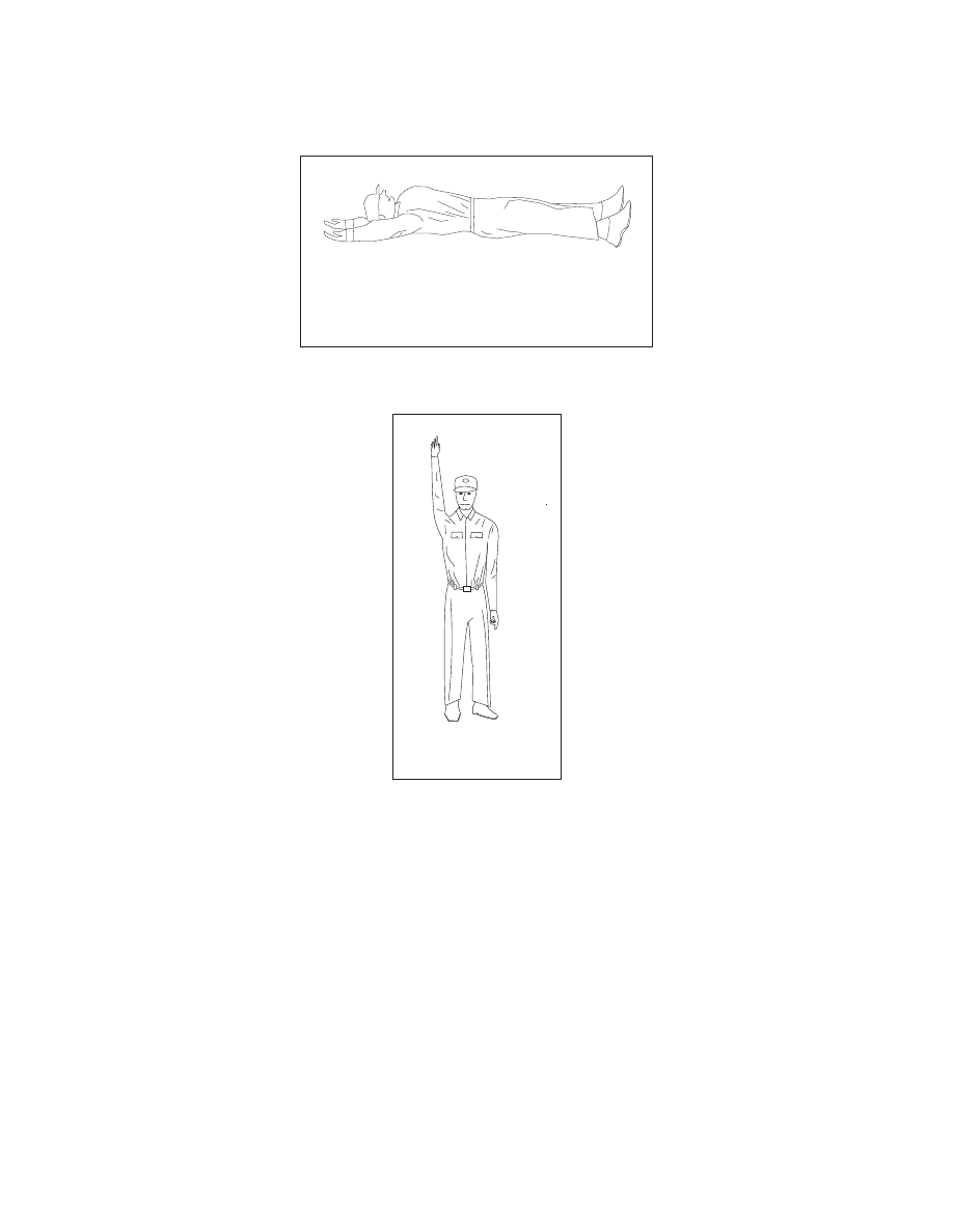
All OK
ALL OK-DO NOT WAIT
Wave one arm overhead
ALL OK-DO NOT WAIT
Wave one arm overhead
Emergency Services Available to Pilots
6
−
2
−
9