AIM
4/20/23
FIG 6
−
2
−
5
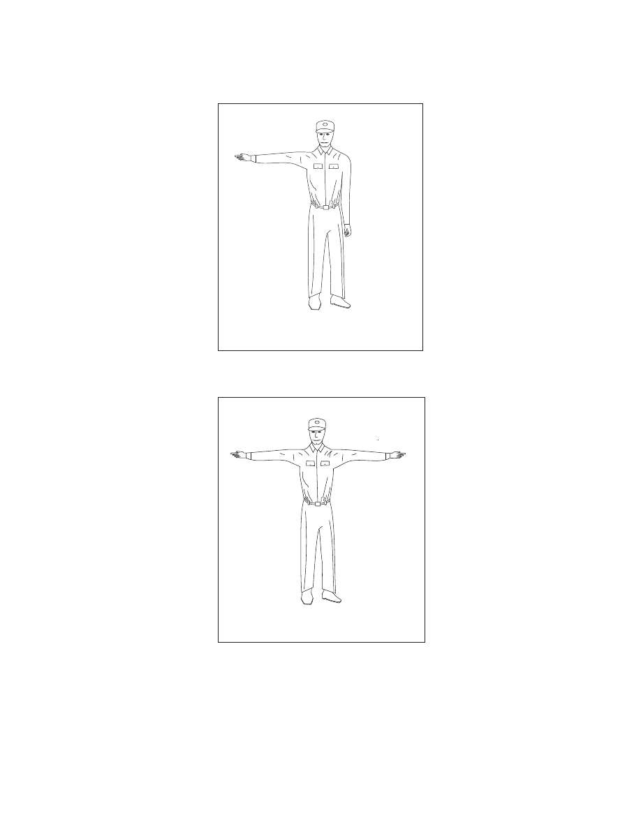
Short Delay
CAN PROCEED SHORTLY
WAIT IF PRACTICABLE
One arm horizontal
CAN PROCEED SHORTLY
WAIT IF PRACTICABLE
One arm horizontal
FIG 6
−
2
−
6
Long Delay
NEED MECHANICAL HELP
OR PARTS - LONG DELAY
Both arms horizontal
NEED MECHANICAL HELP
OR PARTS - LONG DELAY
Both arms horizontal
6
−
2
−
10
Emergency Services Available to Pilots