4/20/23
AIM
FIG 6
−
2
−
11
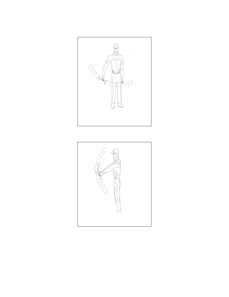
Negative (Ground)
NEGATIVE (NO)
White cloth waved horizontally
NEGATIVE (NO)
White cloth waved horizontally
FIG 6
−
2
−
12
Affirmative (Ground)
AFFIRMATIVE (YES)
White cloth waved vertically
AFFIRMATIVE (YES)
White cloth waved vertically
Emergency Services Available to Pilots
6
−
2
−
13