AIM
4/20/23
6
−
2
−
16
Emergency Services Available to Pilots
FIG 6
−
2
−
17
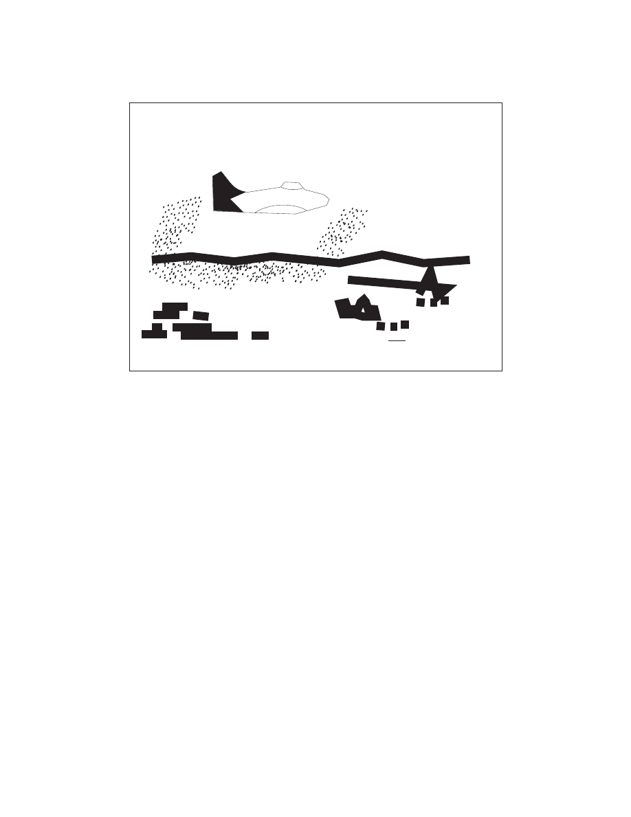
Message received and NOT understood (Aircraft)
Message received and NOT understood by aircraft:
Day or moonlight - Making a complete right-hand circle
Night-Red flashes from signal lamp.
Message received and NOT understood by aircraft:
Day or moonlight - Making a complete right-hand circle
Night-Red flashes from signal lamp.