4/20/23
AIM
5.
After a crash landing, unless you have good reason to believe that you will not be located by search
aircraft or ground teams, it is best to remain with your aircraft and prepare means for signaling search aircraft.
6
−
3
−
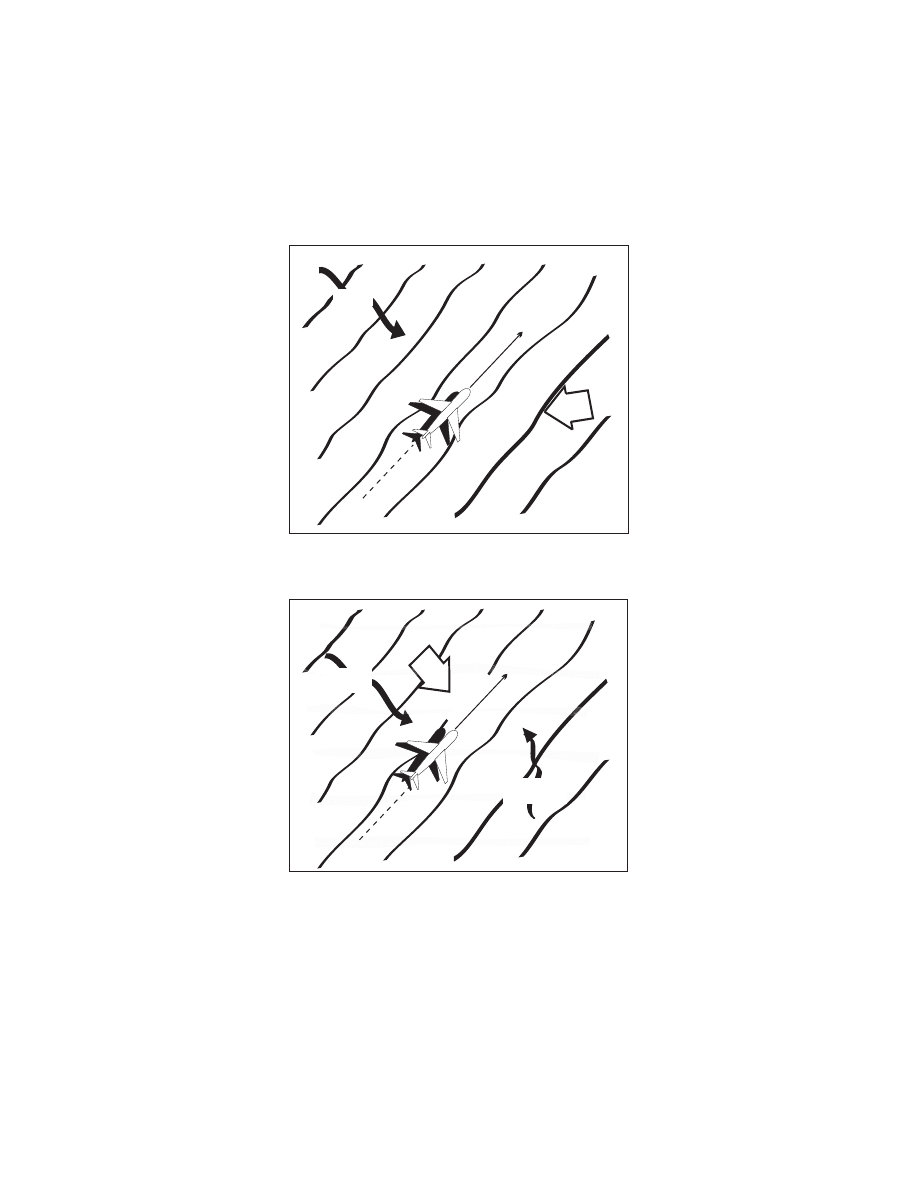
3. Ditching Procedures
FIG 6
−
3
−
1
Single Swell (15 knot wind)
SWELL
SWELL
DITCHING
HEADING
WIND
FIG 6
−
3
−
2
Double Swell (15 knot wind)
PRIMARY
SWELL
PRIMARY
SWELL
SECONDARY
SWELL
SECONDARY
SWELL
HEADING
WIND
DITCHING
Distress and Urgency Procedures
6
−
3
−
3