4/20/23
AIM
(b)
Use location identifiers (either VORs or airports) to describe the hazardous weather areas.
(c)
Use points of latitude and longitude over the ocean areas of the Alaska FIR.
(d)
Are identified by an alphabetic designator from India through Mike.
(e)
In addition to the phenomenon applicable to SIGMETs over the contiguous U.S., SIGMETs over
Alaska are also issued for:
(1)
Tornadoes.
(2)
Lines of thunderstorms.
(3)
Embedded thunderstorms.
(4)
Hail greater than or equal to
¾
inch in diameter.
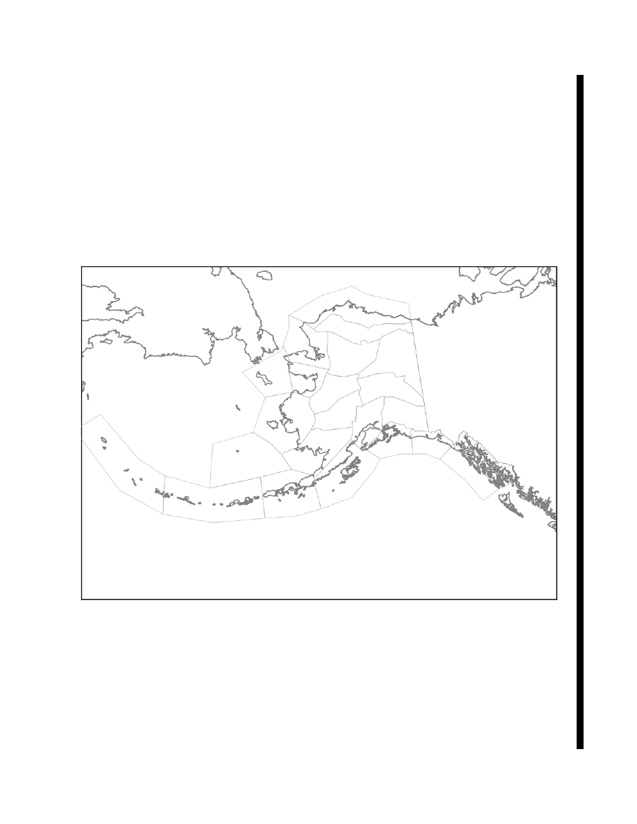
FIG 7
−
1
−
4
Alaska SIGMET and Area Forecast Zones
4.
SIGMETs over oceanic regions (New York Oceanic FIR, Oakland Oceanic FIR including Hawaii,
Houston Oceanic FIR, Miami Oceanic FIR, San Juan FIR), points of latitude and longitude are used to describe
the hazard area.
(a)
SIGMETs over the Oakland Oceanic FIR west of 140 west and south of 30 north (including the
Hawaiian Islands) are identified by an alphabetic designator from November through Zulu.
(b)
SIGMETs over the Oakland Oceanic FIR east of 140 west and north of 30 north are identified by an
alphabetic designator from Alpha through Mike.
(c)
SIGMETs over the New York Oceanic FIR, Houston Oceanic FIR, Miami Oceanic FIR, and San Juan
FIR are identified by an alphabetic designator from Alpha through Mike.
Meteorology
7
−
1
−
13