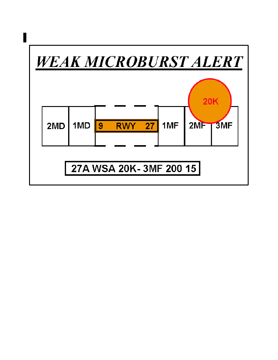
AIM
6/17/21
2. IFR En Route High Altitude Charts
(Conterminous U.S. and Alaska).
En route high
altitude charts are designed for navigation at or above
18,000 feet MSL. This four
−
color chart series
includes the jet route structure; VHF NAVAIDs with
frequency, identification, channel, geographic coor
dinates; selected airports; reporting points. Scales
vary from 1 inch = 45 nm to 1 inch = 18 nm. 55 x 20
inches folded to 5 x 10 inches. Revised every 56 days.
(See FIG 9
−
1
−
7 and FIG 9
−
1
−
8.)
FIG 9
−
1
−
7
En Route High Altitude Charts for the Conterminous U.S.
FIG 9
−
1
−
8
Alaskan En Route High Altitude Chart
9
−
1
−
6
Types of Charts Available